County Heat Vulnerability Maps
The Heat Vulnerability Index (HVI) maps are available for each NY State county (excluding NY City). These reports were prepared to assist with identifying heat-vulnerable populations and regions within the county.
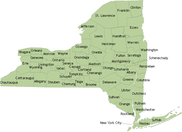
Click a county on the map below to view the HVI and vulnerability maps for that area.